Error loading page.
Try refreshing the page. If that doesn't work, there may be a network issue, and you can use our self test page to see what's preventing the page from loading.
Learn more about possible network issues or contact support for more help.

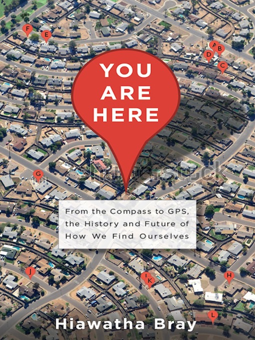
You Are Here

From the Compass to GPS, the History and Future of How We Find Ourselves

ebook
1 of 1 copy available
The story of the rise of modern navigation technology, from radio location to GPS-and the consequent decline of privacy
What does it mean to never get lost? You Are Here examines the rise of our technologically aided era of navigational omniscience-or how we came to know exactly where we are at all times. In a sweeping history of the development of location technology in the past century, Bray shows how radio signals created to carry telegraph messages were transformed into invisible beacons to guide ships and how a set of rapidly-spinning wheels steered submarines beneath the polar ice cap. But while most of these technologies were developed for and by the military, they are now ubiquitous in our everyday lives. Our phones are now smart enough to pinpoint our presence to within a few feet-and nosy enough to share that information with governments and corporations. Filled with tales of scientists and astronauts, inventors and entrepreneurs, You Are Here tells the story of how humankind ingeniously solved one of its oldest and toughest problems-only to herald a new era in which it's impossible to hide.
  • Creators

  • Publisher

  • Release date

  • Formats

  • Languages

  • Reviews

    • Publisher's Weekly

      May 12, 2014
      Technology writer Bray asserts that "mankind has essentially solved the problem of location." It is now difficult, if not impossible, to get ourselves lostâand, more significant for Bray, to be free and invisible in our movements and actions. The book maps how we reached this point of highly accurate wayfinding and limited locational privacy, reaching as far back as Egyptian stellar navigation and the Lapita people navigating the Pacific by the motion of the waves. Each chapter describes innovations in the "rigorous science of location." We learn of the harnessing of radio waves and their implementation in aerial warfare; the creation of the gyroscope and its use in sea and air navigation; the development of navigation by artificial satellites and then GPS; the launch of spy planes and satellites capable of photographing great tracts of land; and, more recently, the capabilities and potential of crowd-sourced mapmaking and constant locational awareness via smartphone. These achievements are impressive and the book acknowledges this, but it also notes and cautions the result of always knowing exactly where we are: "others know as well, whether we like it or not." Bray offers accessible explanations of complex innovations but his overall coverage of the topic too simplistic especially when describing modern technology and social implications.

    • Kirkus

      April 1, 2014
      A history of the navigational tools that tell us where we are. In his debut, Boston Globe technology reporter Bray notes that for most of human history, we lacked maps and navigational tools. Early sailors relied on the wind and waves to get their bearings. In Europe, maps first appeared on Spanish cave walls 14,000 years ago. Today, "mankind has essentially solved the problem of location" due to a remarkable spate of navigational innovation in the 20th century, much of it prompted by the demands of the two world wars. Beginning in ancient times with the great cartographer Ptolemy, Bray recounts the story of mapping and navigational systems through the work of an array of inventors, engineers and entrepreneurs. In the 16th century, mapmaker Gerhard Mercator made it possible to plot an accurate course at sea. In the early 20th century, inventor Elmer Sperry created gyroscopes to steer aircraft and cruise missiles. In the 1990s, Stephen Poizner perfected the phone-based GPS technology that turned smartphones into portable navigators. Indeed, GPS, born in the Cold War, "has indelibly altered the way we live and work and travel." Bray also describes the development of WiFi navigation; the eye-level, street-by-street views of Google Maps; and the Google Earth images, which allow us to see our own homes as well as the Parthenon and the Grand Canyon. The author provides fascinating stories on the use of these technologies, from the mapping of North Korea by amateur cartographers to the "crisis mapping" that redraws the maps of a country in the wake of a disaster. Bray calls for limits on government use of advanced location techniques to track citizens, noting that police departments now "keep tabs on us with almost Orwellian diligence." It takes just three months' worth of location data for a researcher to predict a person's next move with accuracy. Bright, well-written and highly informative.

      COPYRIGHT(2014) Kirkus Reviews, ALL RIGHTS RESERVED.

    • Library Journal

      June 1, 2014

      Boston Globe technology reporter Bray provides an overview of the social history of technologies used for cartography, navigation, and determining exact locations, beginning with the ancient navigators who looked to the stars for guidance and progressing through to our modern devices that look upward toward GPS satellites (as well as cellular towers and Wi-Fi signals). Many developments along the way were spurred by the need for military advantage, whether that involved communicating with distant troops, accurately mapping enemy positions, or guiding destructive weaponry precisely to its target. As location technology becomes smaller and cheaper, Bray shifts his focus to the corporate world, in which tech companies vie for more accurate maps, better algorithms, and greater ubiquity on consumers' devices. Modern electronics not only allow consumers to know where they are at all times, he points out, they also open up new possibilities for surveillance and loss of privacy. Bray explores the social implications of these changes in the final chapters. He does an exceptional job of integrating technical details and personal stories and framing chapters around specific problems and solutions. VERDICT A superlative choice for technology buffs who want a historical perspective on location and navigation technologies.--Wade M. Lee, Univ. of Toledo Lib.

      Copyright 2014 Library Journal, LLC Used with permission.

Formats

  • Kindle Book
  • OverDrive Read
  • EPUB ebook

Languages

  • English

Loading